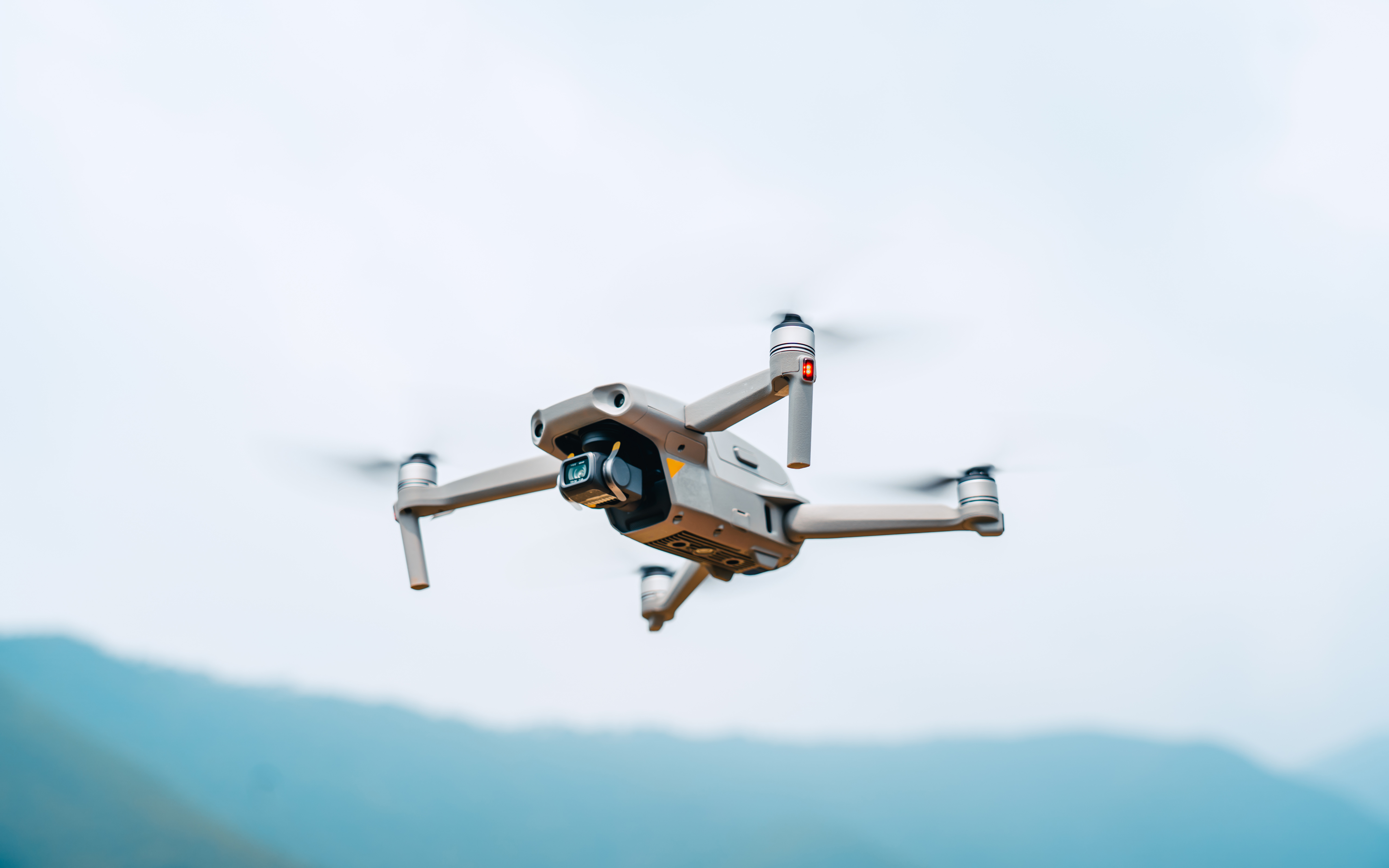
DJI Mavic 3 Enterprise
At MTM, we use the DJI Mavic 3 Enterprise drone to deliver exceptional results for our clients in stream restoration, vegetation management, logjam removal, and infrastructure maintenance around dams and bridges. Our drone technology isn't just impressive-it's a force multiplier that helps us work safer, faster, and smarter.
Advanced Imaging
Features a 4/3 CMOS 20MP wide camera with mechanical shutter and a powerful 56× hybrid zoom capability, ideal for detailed vegetation inspection from safe distances.

Collision Avoidance
Equipped with omnidirectional obstacle sensing for safe navigation around complex environments like dense vegetation, bridges, and dam structures with automatic obstacle avoidance.

RTK Precision
Equipped with RTK module for centimeter-level positioning accuracy (±0.1m), enabling precise mapping and surveying applications in stream restoration and vegetation management.
Extended Flight Time
Features 45-minute maximum flight time and up to 32km range, allowing for extensive coverage of stream corridors and vegetation inspection with fewer battery changes.
Technical Specifications
Performance
- Weight: 915-920g (model dependent)
- Max flight time: 45 minutes (no wind)
- Max flight speed: 21 m/s (Sport Mode)
- Max wind resistance: 12 m/s
Imaging
- 4/3 CMOS sensor with 20MP resolution
- 56× hybrid zoom capability
- Omnidirectional obstacle sensing
- 4K video at 30fps
What Our Drone Delivers for Your Project

Stream Restoration & Monitoring
High-Resolution Mapping: We capture detailed aerial imagery and 3D models of stream corridors, enabling precise planning and documentation of restoration activities.
Erosion & Sediment Tracking: Monitor changes in banks, identify erosion hotspots, and track sediment movement over time-without disturbing sensitive habitats.
Vegetation Management Around Dams & Bridges
- Access Challenging Terrain: Survey steep slopes, dense brush, or water-adjacent areas safely from above-no need for risky manual inspections.
- Before/After Progress Visuals: Vivid, high-resolution images that clearly demonstrate restoration success to stakeholders and regulators.
Logjam Identification & Clearing Support
- Pinpoint Obstructions: Rapidly assess logjams and debris accumulations in streams and rivers, even in remote or hard-to-reach sections.
- Plan Safe Access: Generate maps and models to plan safe, efficient removal operations for crews and equipment.
Why does MTM use drones on your project?
Faster Turnarounds: We deliver actionable data in hours, not days-minimizing project delays and keeping you informed.
Cost Reduction: Aerial assessment means less time and fewer crew members needed-resulting in significant cost savings on your project.
Superior Documentation: High-resolution aerial imagery provides better before/after comparisons and clearer regulatory compliance evidence.
Enhanced Safety: Our crews stay out of harm's way when assessing challenging terrain or potential hazards.

Let us show you how our drone technology can provide powerful insights and advantages for your next vegetation management, stream restoration, or infrastructure maintenance project.